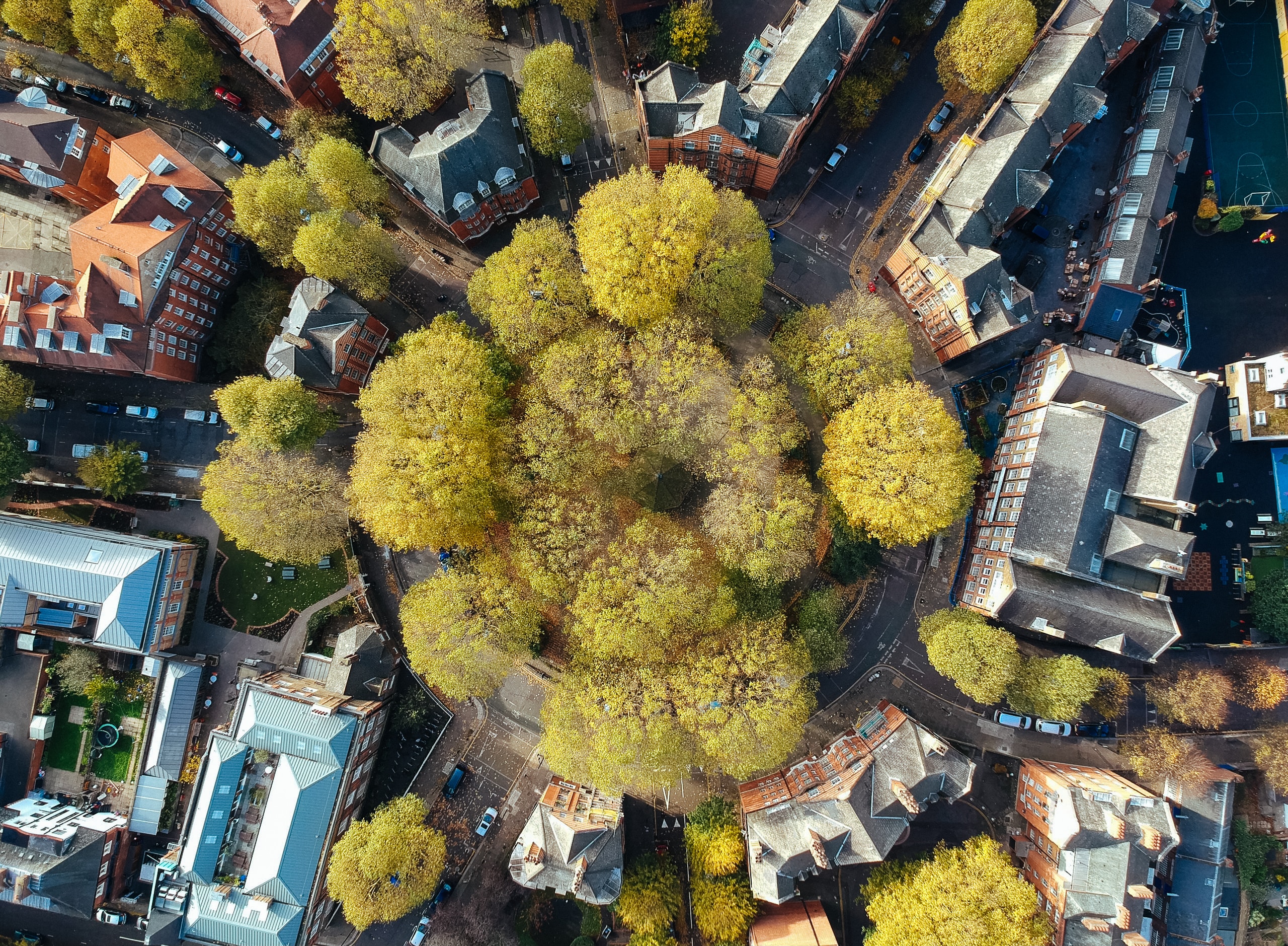
Mapping tree equity: urban disparities in the UK's air quality
The Woodland Trust, American Forests, and the Centre for Sustainable Healthcare have released an interactive map revealing the correlation between tree cover, pollution, and air quality in urban areas of the UK. Covering regions where 80% of the population resides, the map utilizes Google's tree canopy data and six indicators to create a "tree equity score" (TES) for each urban neighborhood.
The lower the TES, the greater the need for more trees. The map highlights that deprived areas have less than half the tree cover and nearly 20% more air pollution than affluent neighborhoods. Furthermore, it indicates that the most deprived areas experience higher temperatures on the hottest summer days, emphasizing the impact of climate change. Conversely, areas with higher tree cover exhibit lower pollution levels and are cooler during heatwaves.
This underscores the importance of increasing tree presence in urban spaces for environmental and health benefits. microplastics in different soil types.
